← Back to Projects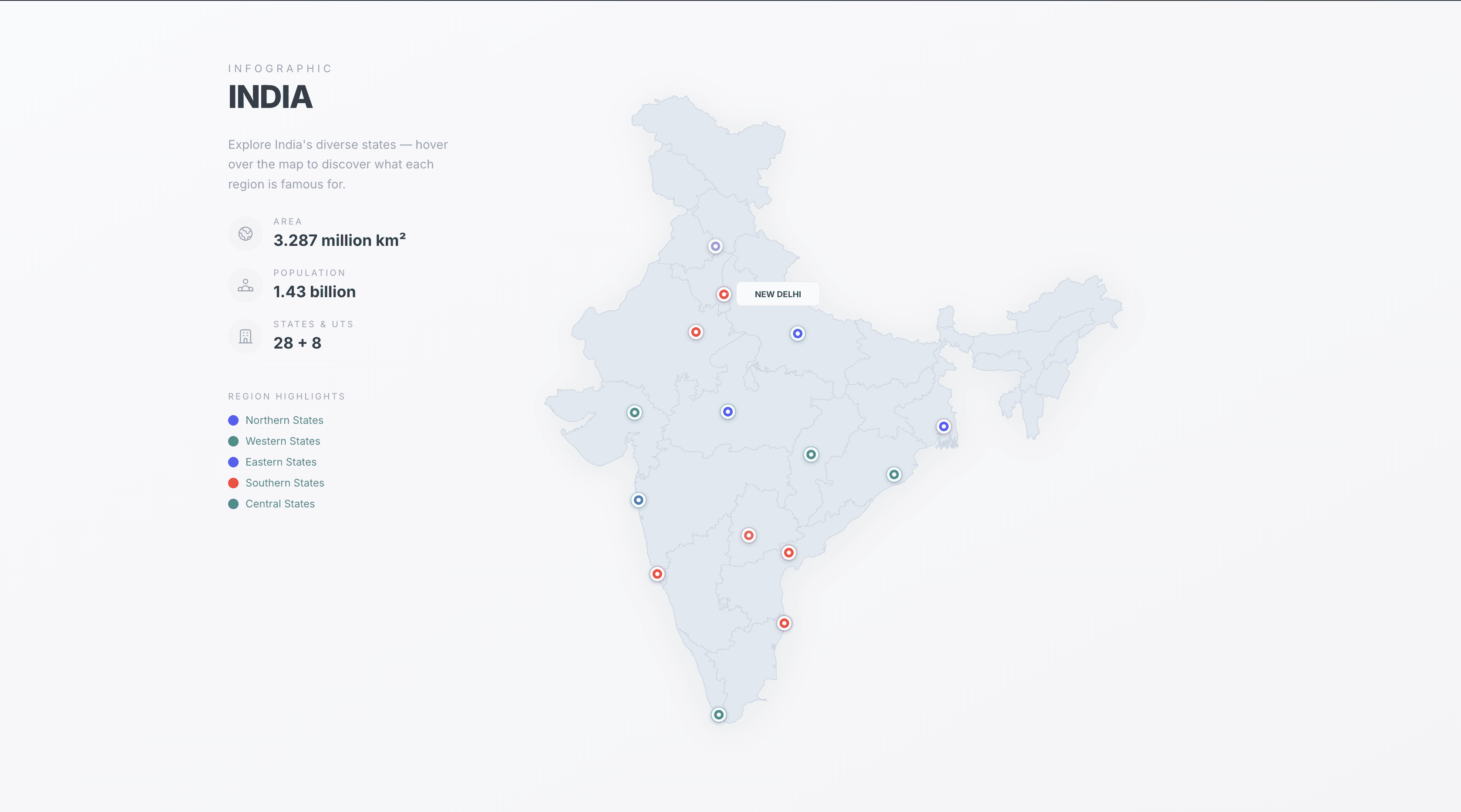
Interactive India Map Visualization
Dynamic Map Visualization Tool
Project Overview
Interactive India map using real TopoJSON boundaries with dynamic state selection and visualization workflows. Implemented synchronized UI interactions, animated markers, and region-based visualization components.
Key Features
- Implemented synchronized UI interactions, animated markers, and region-based visualization components.
Tech Stack
ReactD3TopoJSONSVG